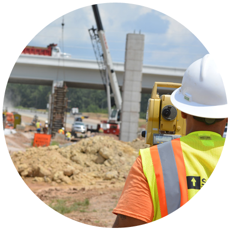
The City of Raleigh Engineering Department contracted Summit to prepare a location and route survey along Lake Wheeler Road for planned improvements design. The survey subject area is a 2-lane roadway bounded on the south by a 4-lane divided highway with raised median, and on the north by the intersection of South Sanders Street, which again is a 4-lane roadway template.
The project is about 5,700 feet in length and is adjacent to 58 privately and publicly held properties, including Dorothea Dix Park. The surveying methods include cadastral surveying techniques, RTK-GNSS, supplemental data input, and quality control imagery from UAS captured data. This route is also a utility corridor with utility providers such as Duke Energy, Dominion Energy, Charter Communications and the City of Raleigh Water and Sewer, maintaining this vital infrastructure both underground and conveyed by aerial means.
The development of this corridor will serve the community with a safer thoroughfare, and with the development of the 308 acres Dorothea Dix Park planned in late 2022, it will provide access and entrances to the southeast portion of the Dix Park attractions. Additional safety considerations are planned for pedestrian and bicycle traffic along the route, including enhanced accommodation for public transit systems.
One of the challenges we experienced with this project was the short schedule. Due to the fast pace of the City’s development team, we were only given 60 days from notice-to-proceed to final survey project delivery. This tight schedule keeps the project development moving and the engineering design consultant team was ready to begin on the date of our final deliverable.
Project Details