Exploring GIS: The Tool Mapping the World Around Us Though GIS may sound like a technical term, it is actually intrinsic to the way many people conduct their lives. For…
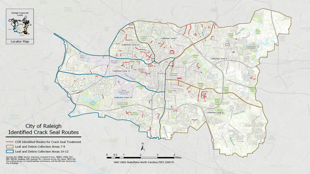
The Importance of Community Planning in a Changing WorldThink about your commute to work. (There is a high probability you’re working from home right now, so think about your commute…
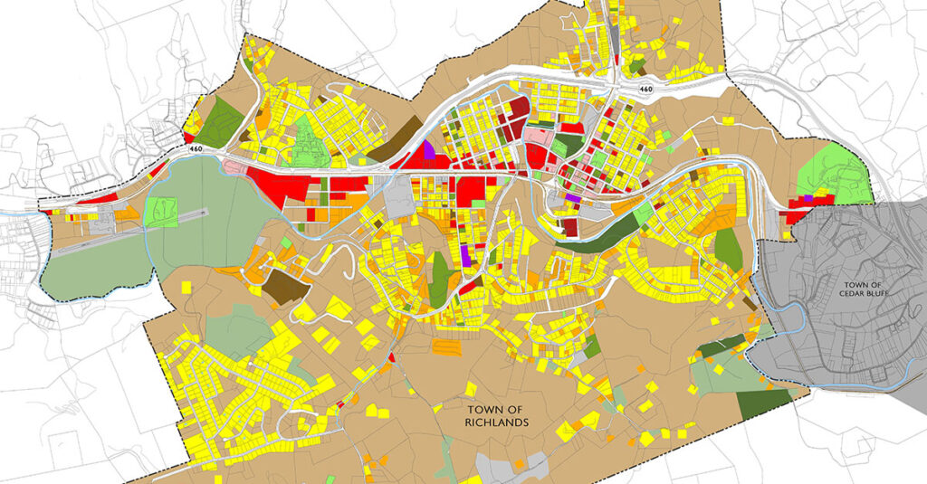
Often when a Planner identifies what their career and title are, listeners can become confused because “Planner” is such a broad term. Do they mean a Financial Planner? A Wedding…
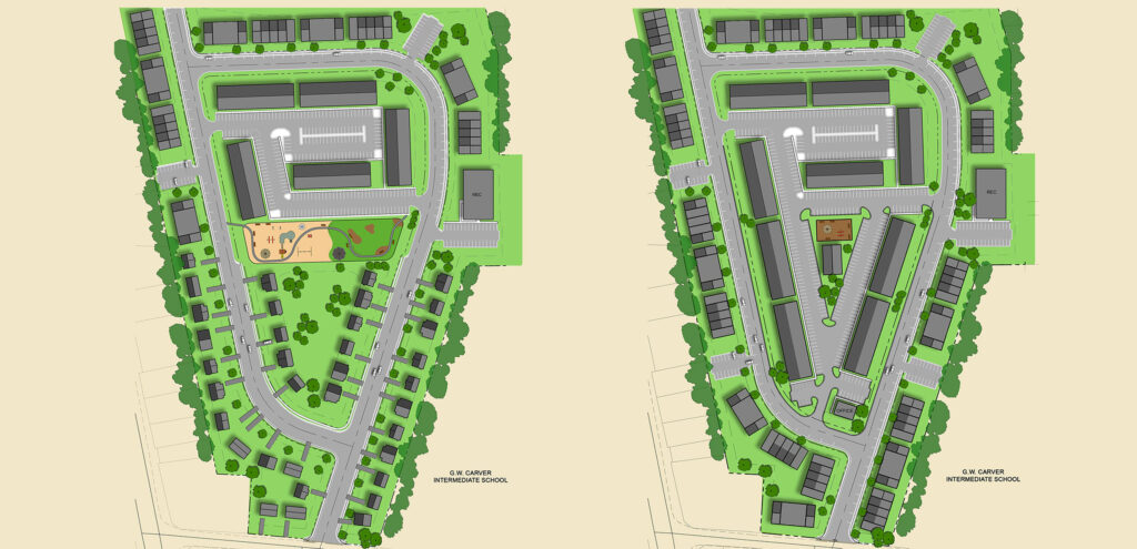
Here is a myth about the Architecture/Engineering/Construction (A/E/C) industry: You need to be an engineer, architect, or construction technician to work here. // Think About It //Every company regardless of…